Biodiversity, the variety of life on Earth, is essential for maintaining ecosystem health and the services they provide to humanity. Grasslands, in particular, are home to a rich array of plant species that contribute significantly to local and global ecosystems. However, these vital landscapes are under threat, and conservation efforts require robust, cost-effective tools to monitor and protect them. This is where satellite remote sensing comes into play.
What is Remote Sensing?
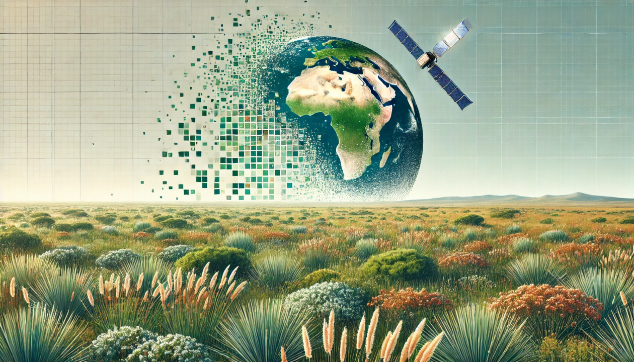
Remote sensing involves gathering information about the Earth’s surface using sensors that are not in physical contact with the area being observed. Satellites, drones, and aerial photos can collect data on vegetation, land cover, and other environmental features. By analysing this data, researchers can infer information about the distribution, abundance, and diversity of plant and animal species. This approach saves time and resources while allowing for the coverage of large, often inaccessible areas.
Using Satellite Data to Map Species Richness in Sub-alpine Grasslands
A recent study conducted in South Africa’s Golden Gate Highlands National Park, and published in the journal Applied Vegetation Science, showcases the effectiveness of remote sensing in biodiversity monitoring. The study used data from two satellite systems: Landsat 8 and Sentinel-2, which capture detailed images of the Earth’s surface. Landsat 8 and Sentinel-2 are Earth observation satellites that provide valuable complementary data for environmental monitoring and research efforts.
First, the researchers collected field data on plant species composition and coverage from 142 plots across the park. They calculated species richness (the number of different species in an area) and the Shannon-Wiener species diversity index (a measure that considers both the number of species and how evenly they are distributed). Next, this traditional data was then correlated with remote sensing data from the satellite images, which included light wavelengths not visible to the naked eye, particularly the near-infrared (NIR) band. This NIR band, along with specific vegetation indices such as the Enhanced Vegetation Index (EVI) and Soil-Adjusted Vegetation Index (SAVI), were important in predicting plant diversity.
The Power of Machine Learning
However, more than raw satellite data is required. The researchers employed a sophisticated machine learning technique called Random Forest to make sense of this vast amount of information. Think of Random Forest as a super-smart computer program that can identify patterns and make predictions based on complex data sets. This approach allowed the team to predict species richness (the number of different species in an area) and diversity (a measure that considers both the number of species and how evenly they are distributed) with impressive accuracy.
Key Findings and Why This Matters
The study delivered intriguing results that I will summarise in the following four points.
High Prediction Accuracy: The study achieved prediction accuracies of up to 91% for species richness and diversity. This means that the satellite-based method was able to estimate biodiversity levels almost as well as traditional ground surveys.
The Importance of Near-Infrared: The research highlighted that the near-infrared (NIR) part of the light spectrum was particularly useful for predicting plant diversity. This makes sense, as healthy vegetation strongly reflects NIR light.
Vegetation Indices Matter: The study found that certain vegetation indices, notably the Enhanced Vegetation Index (EVI) and Soil-Adjusted Vegetation Index (SAVI), were valuable for predicting biodiversity. These indices are special calculations that help highlight vegetation characteristics in satellite images.
Seasonal Considerations: The effectiveness of the method varied slightly depending on the time of year, with predictions being most accurate during certain months. This underscores the importance of considering seasonal changes in vegetation when using this approach.
The Future of Remote Sensing in Biodiversity Conservation
The results show that using remote sensing to monitor biodiversity is both cost-effective and efficient. Even sensors with moderate resolution can provide valuable insights into biodiversity patterns. This means that high-resolution sensors might not be necessary, making it easier and more affordable to use remote sensing for biodiversity monitoring and conservation planning, especially in areas with limited resources.
This research is a big step forward in our ability to monitor and protect biodiversity. The results of this study are promising; however, the authors acknowledge there are some limitations. The method might not work as well in areas with very dense tree cover or where many species look very similar. It is also important to confirm satellite predictions with actual observations on the ground to ensure accuracy. Future research directions could include developing more sophisticated algorithms to differentiate between similar species, integrating data from multiple satellite sources for enhanced prediction accuracy, and creating user-friendly tools to democratise this technology for conservation planning.
Overall, using satellite remote sensing and machine learning for biodiversity monitoring is a powerful new tool for conservation. It gives us unprecedented insights into ecosystem health and diversity, helping us understand the natural world better and make informed decisions to protect it. As this technology develops, it can be used in many ways, from tracking ecosystem recovery after disasters to monitoring reforestation projects and even in agroforestry. This research shows that innovation and technology are essential in tackling global environmental challenges, connecting satellite observations with on-the-ground conservation efforts, and opening new possibilities for understanding and protecting our planet’s biodiversity.
Leave a Reply